New River (Floras Creek)

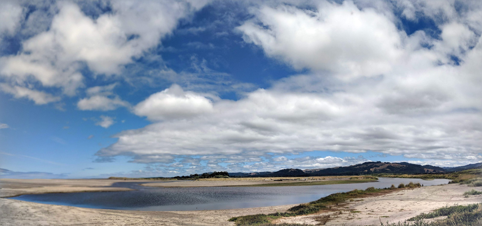
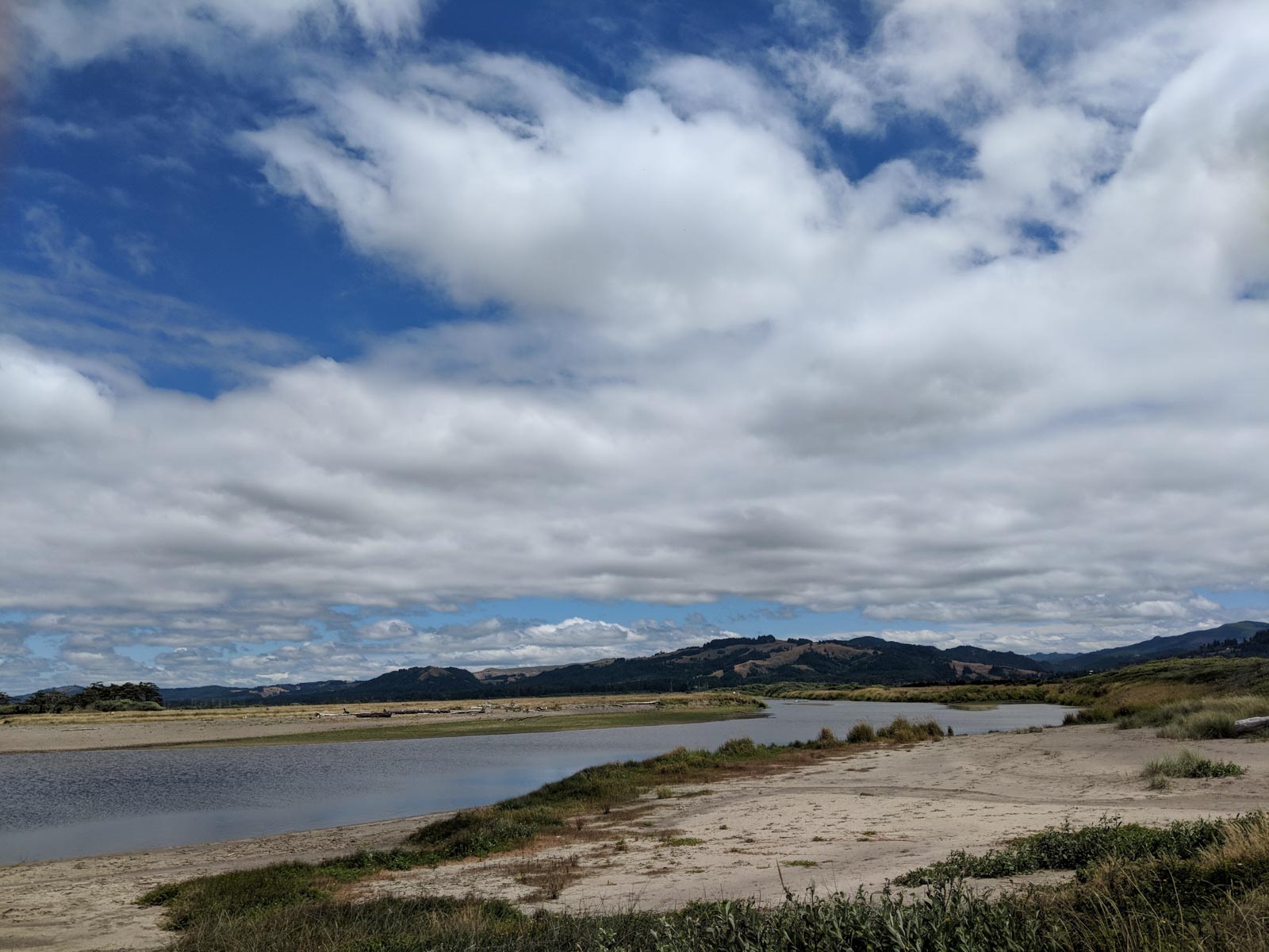
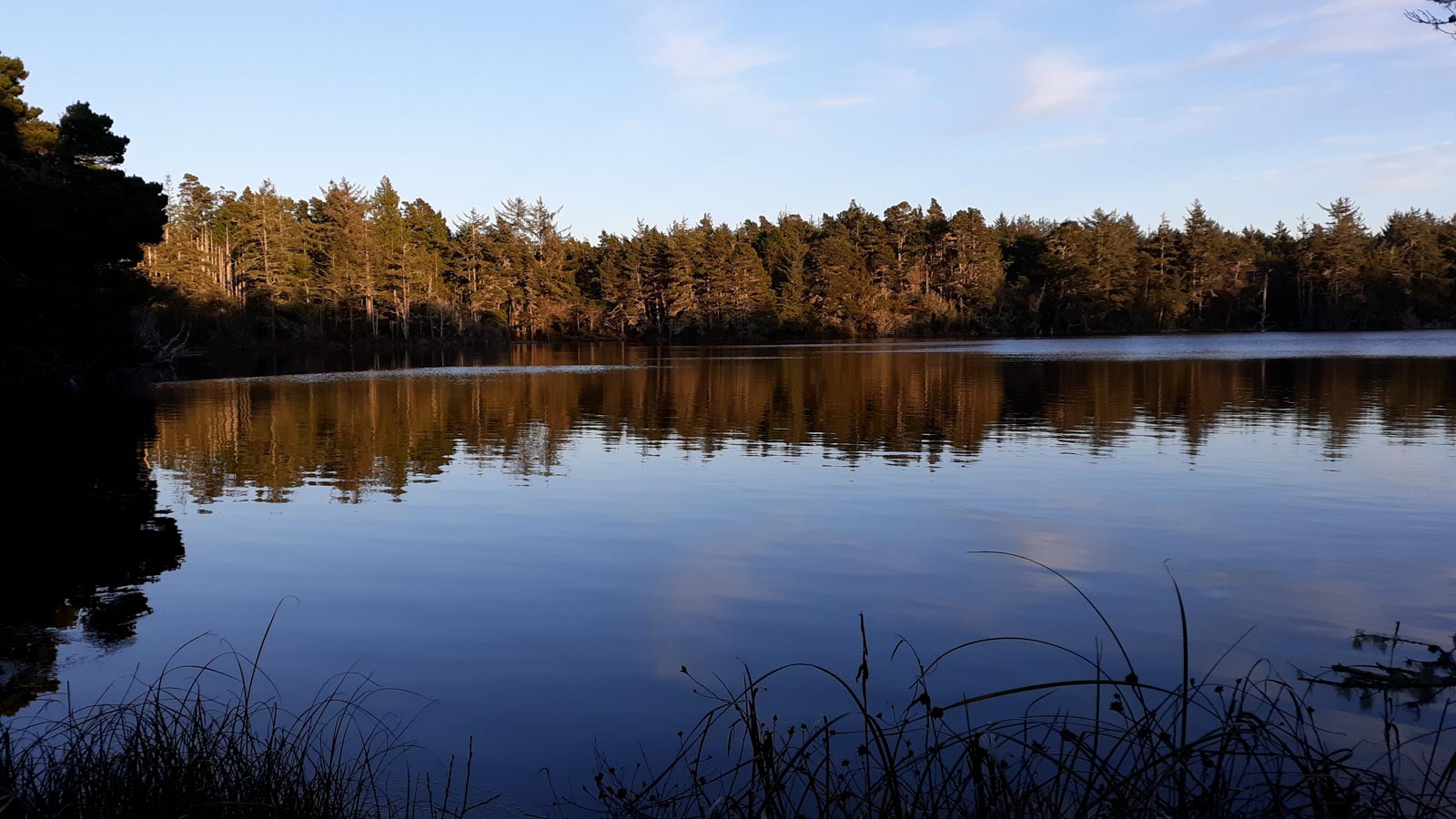
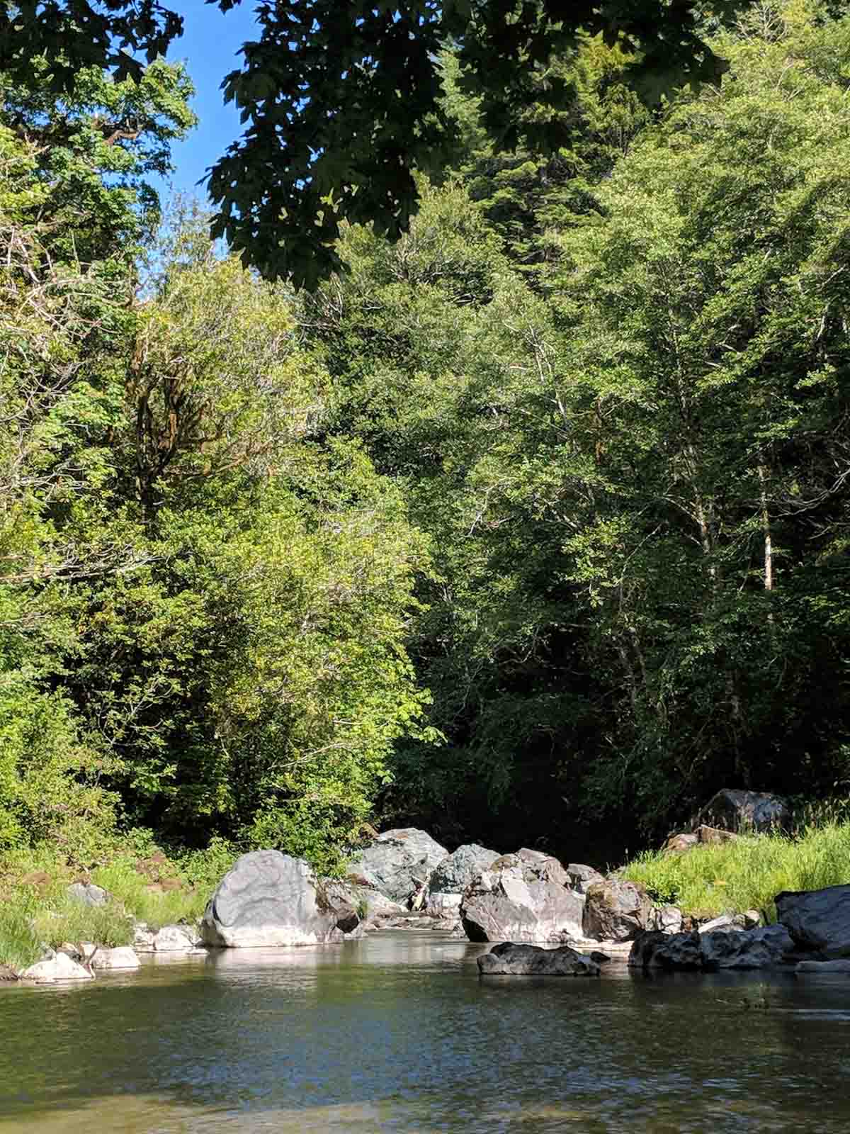
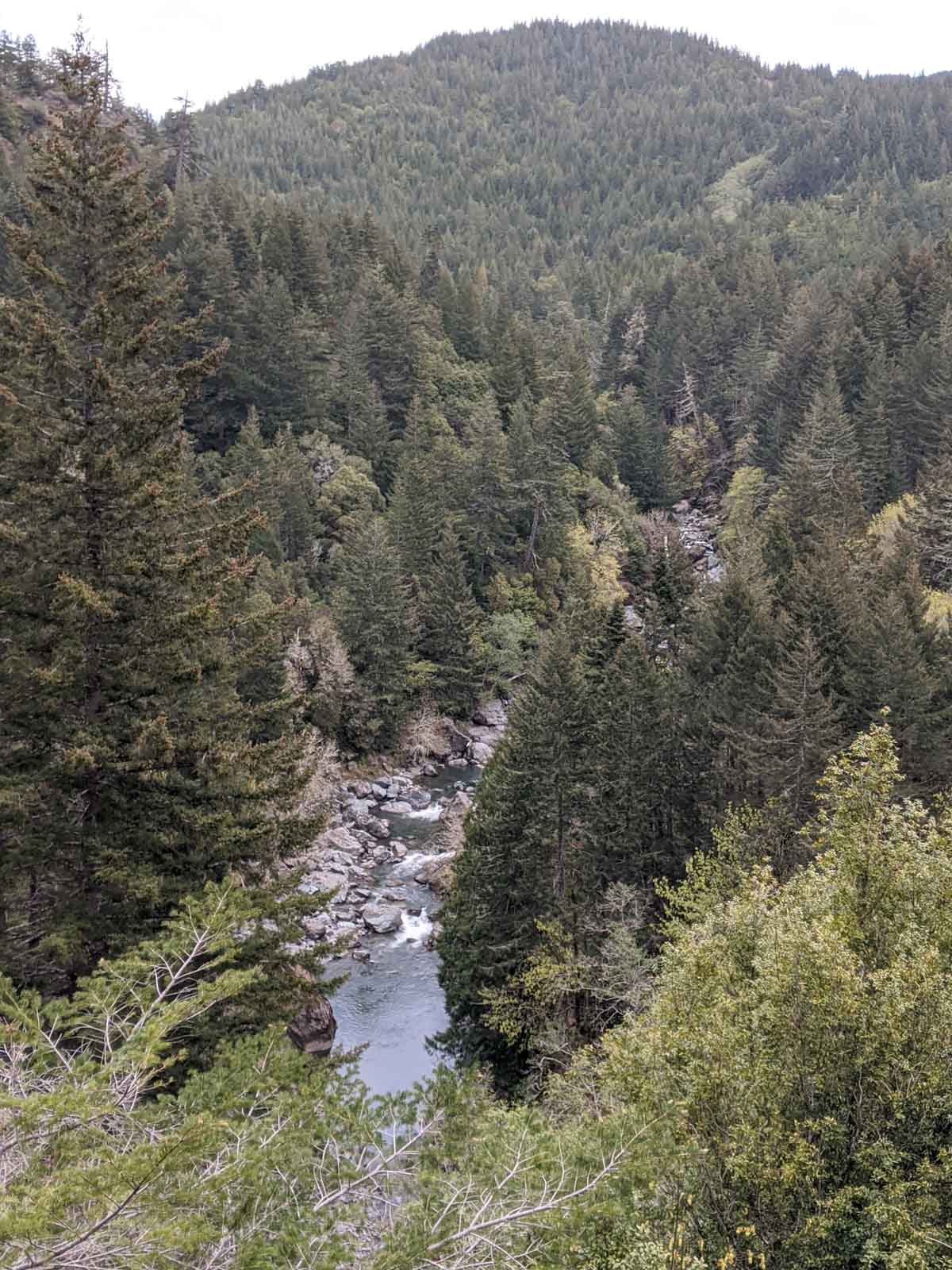
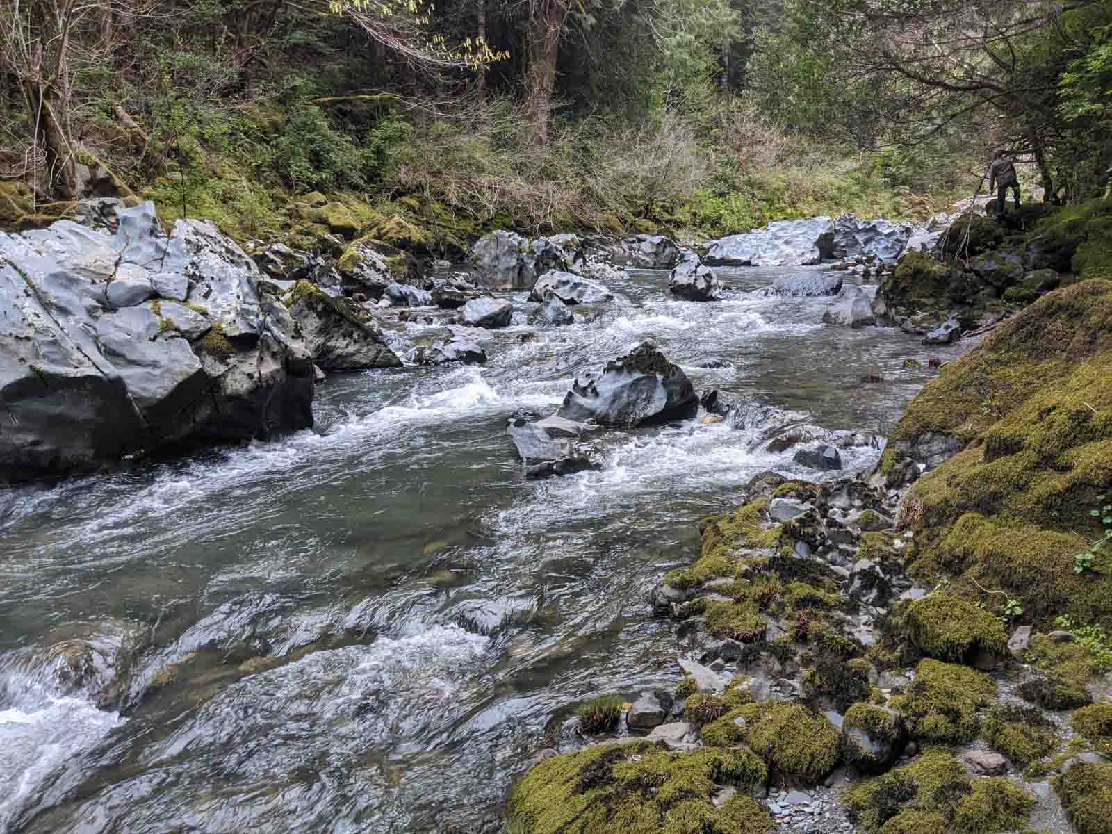
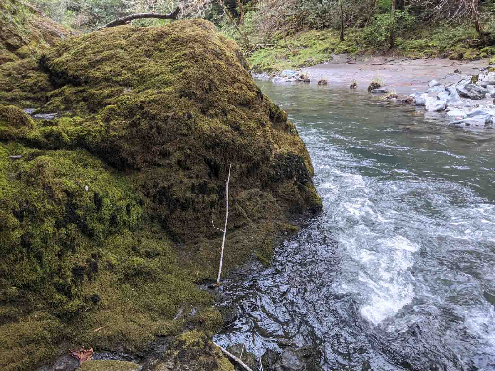
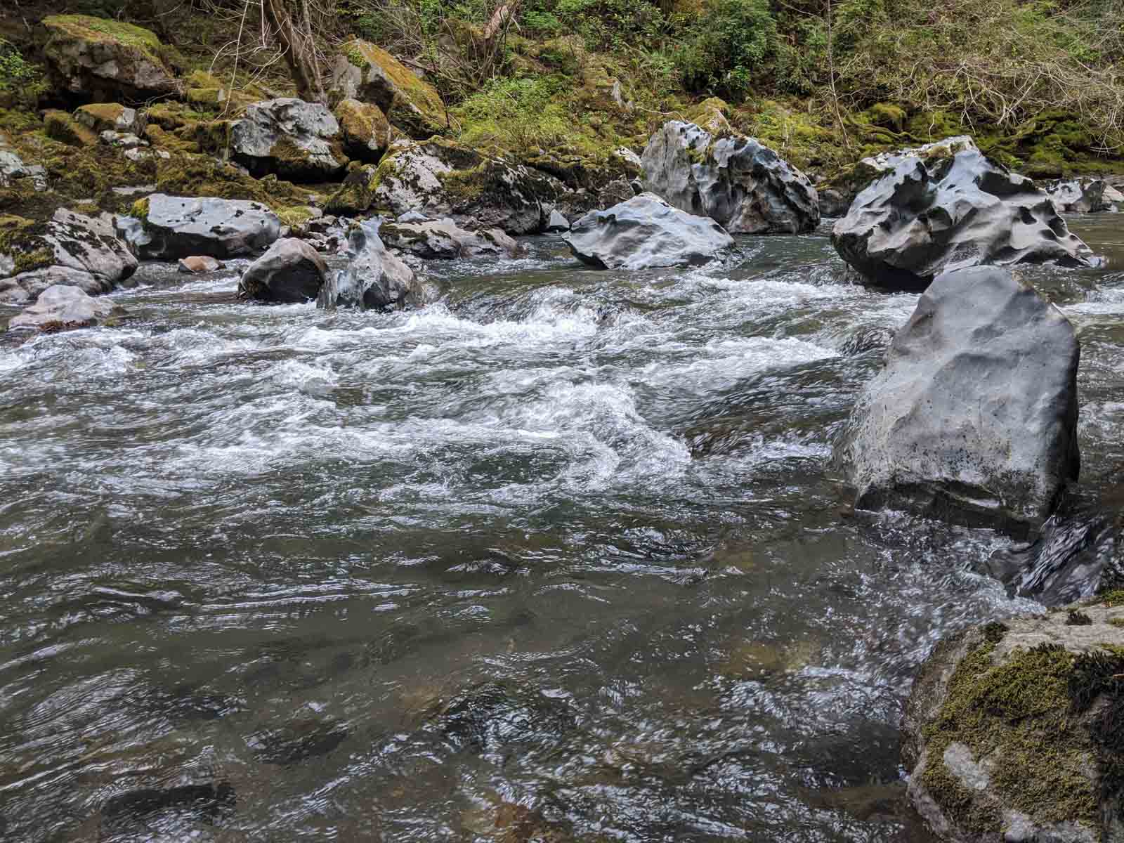
Floras Creek, a tributary of the New River watershed, drains approximately 81 square miles or 51,652 acres of land. Floras Creek is located primarily in Curry County with a small portion of the East Fork extending into Coos County. It is also the northernmost watershed in Curry County and crosses Highway 101 just south of the community of Langlois. Elevations in the watershed range from sea level to approximately 2,786 feet on Edson Butte. Major tributaries include the North Fork, East Fork, South Fork, West Fork, Willow Creek, and Floras Lake. The upper portion of the watershed is characterized by steeply sloped forested areas with narrow valleys and tributary streams that have moderately steep to very steep gradients. Grazing, rural residential development and other agricultural uses are dominant in the lower portion of the watershed. Streams throughout the lower watershed have been diked, ditched, and drained. Flow regimes have been considerably altered in order to confine or reduce the impact of winter flooding and/or to increase areas available for pasture and cranberry production. Over 90% of the watershed is in private ownership.

Watershed Facts

Land Ownership & Use

8% public ownership, 92% private ownership (23% industrial private, 69% non-industrial private)

Vegetation

76% forest/shrub, <1% impervious, 3% wetland

Watershed Size

81 square miles/51,652 acres

Hydrology/Flow

  • 2 yr peak flow – 6320 cfs
  • 10 yr peak flow – 11100 cfs
  • 50 yr peak flow – 15400 cfs
  • 100 yr peak flow – 17200 cfs
  • Average Flow Range (5% – 95% flow durations): 1380 cfs – 6.98 cfs

Fish Use

Chinook salmon, coho salmon, cutthroat trout, steelhead, sculpin, Threespine stickleback, Pacific lamprey

Did you know?

New River, which runs north/south parallel to the ocean, began to form after a major flood in 1890. European beach grass was introduced in the early 1900s to stabilize a low foredune between the newly formed creek and ocean. This caused local streams that once flowed directly to the ocean to run together behind the dune and further develop this ‘New River’.

Restoration and Education Efforts

woman walking along Elk River

Lorem ipsum dolor sit amet, consectetur adipiscing elit, sed do eiusmod tempor incididunt ut labore et dolore magna aliqua. Ut enim ad minim veniam, quis nostrud exercitation ullamco laboris nisi ut aliquip ex ea commodo consequat. Duis aute irure dolor in reprehenderit in voluptate velit esse cillum dolore eu fugiat nulla pariatur. Excepteur sint occaecat cupidatat non proident, sunt in culpa qui officia deserunt mollit anim id est laborum.

Assessments, Action Plans & Formal Reports