Want to help us? Sign up to volunteer at monitoring@currywatersheds.org
Planning for the Future
The Watershed Monitoring Program recently finalized a long-term plan that charts a course for the program into the foreseeable future. This plan identifies a number of focus areas and priorities for the program based on the results of the past 20 years of work, and input from both the other programs in the Partnership and outside groups we often work with. Monitoring projects were then developed based on those focus areas and priorities. These projects are ones that the program will prioritize for the foreseeable future to better understand our watersheds and guide restoration efforts. More information on these projects will become available as they come online in the next few years.
While the projects identified in the plan are of the upmost priority for the program, the monitoring program also collaborates with the other programs in the Partnership to address any monitoring related needs to their programs. The monitoring program also strives to adapt and evolve as projects progress to make sure we are utilizing the most up to date science, technology, and information in our work.
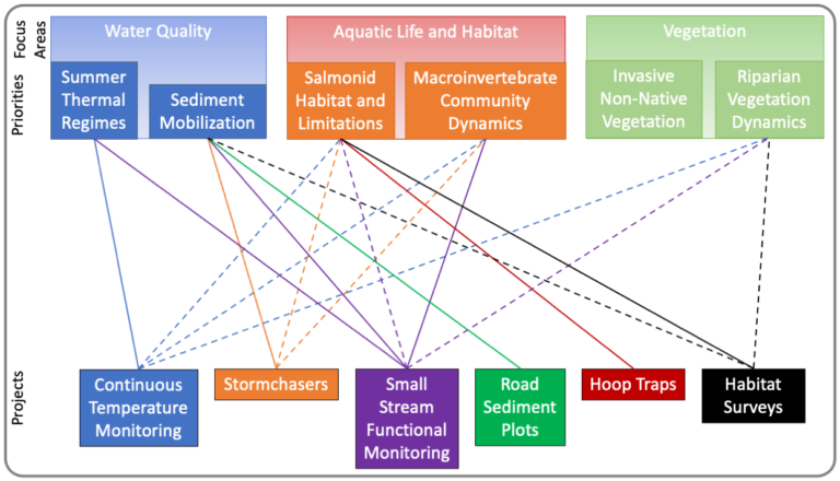
The relationship map above shows which projects inform which priorities and focus areas
Click on a project below to learn more
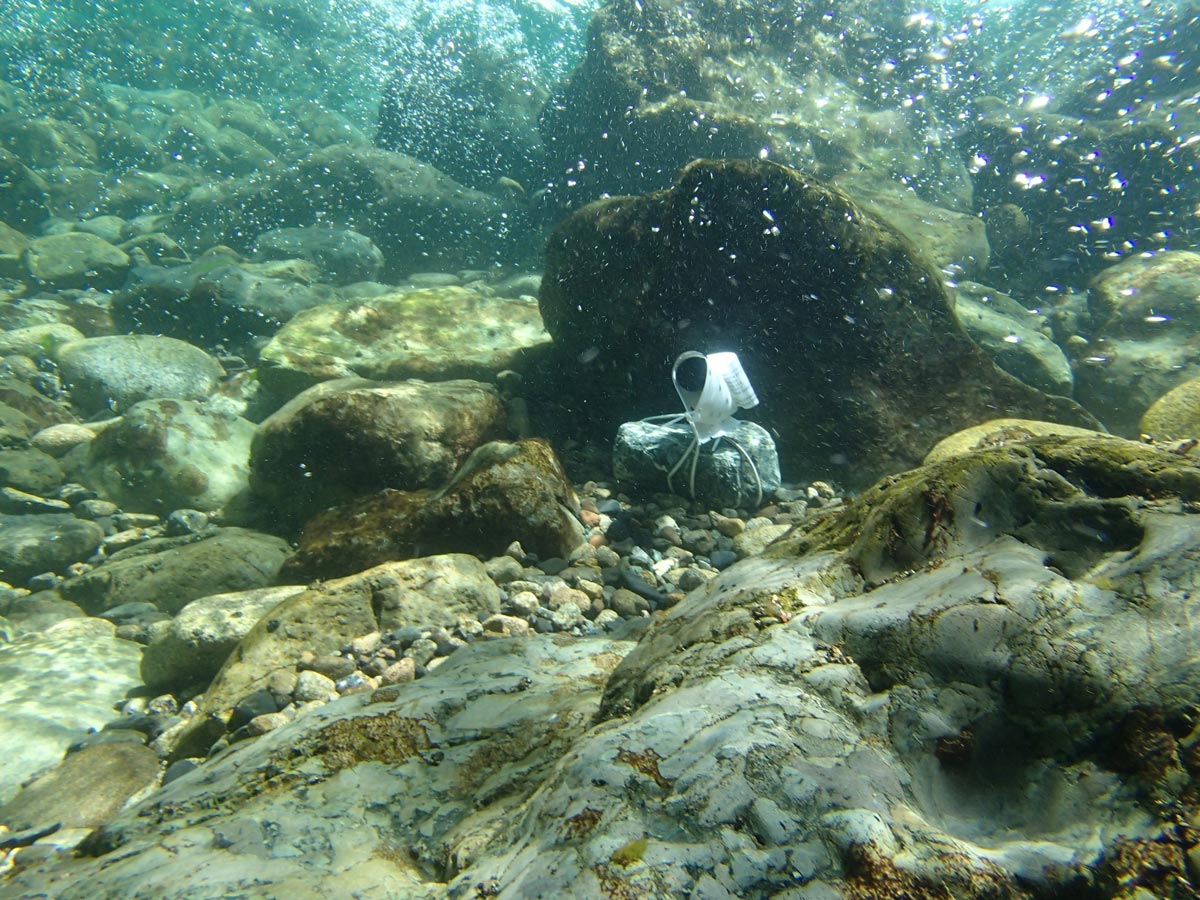
Summer water temperature monitoring is something we’ve done for many years, and is a key water quality parameter that can tell us a lot about watershed health and conditions for aquatic species.
This projects uses a number of standard monitoring techniques to better understand a number of factors related to common restoration projects we carry out, and will be very useful to our understanding of how effective our work is.
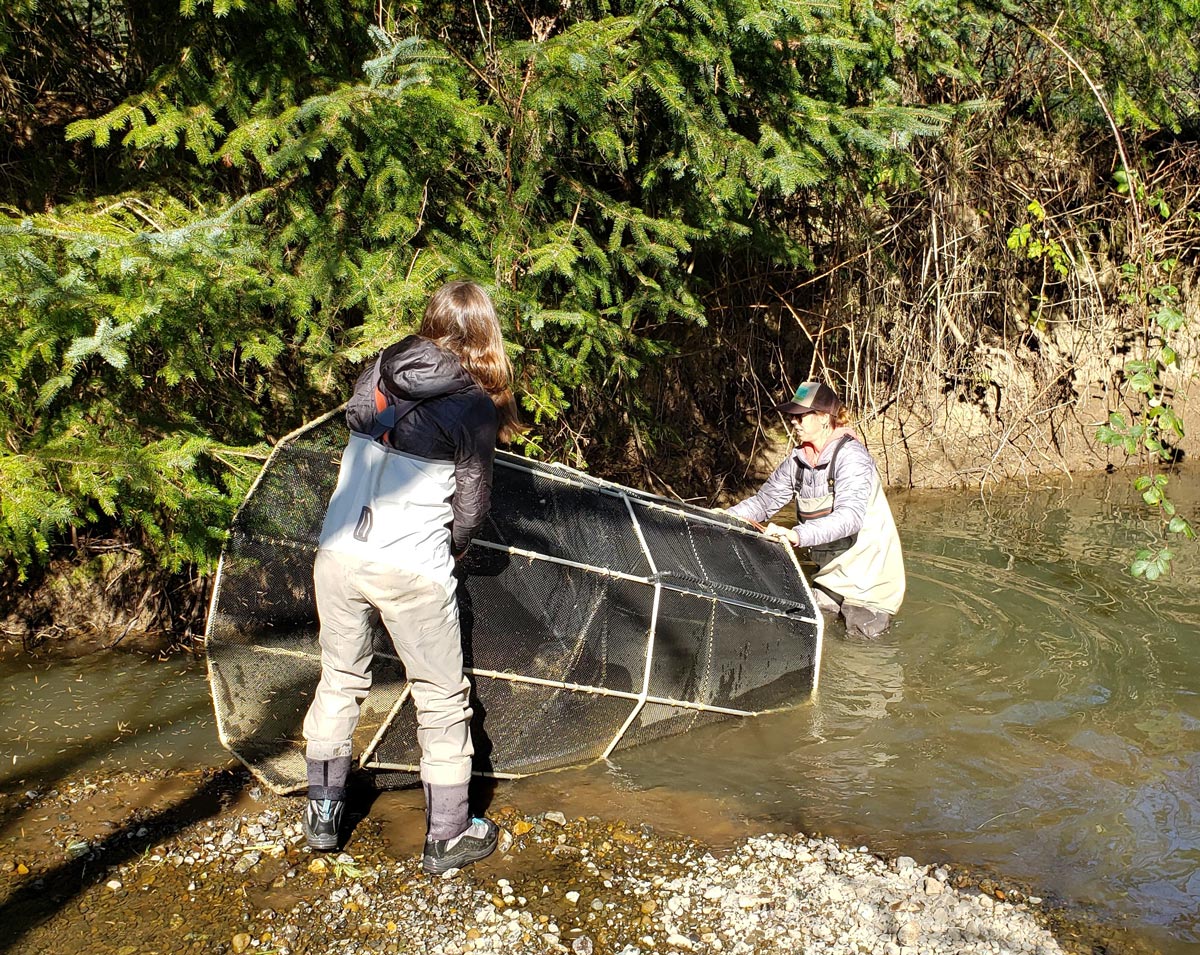
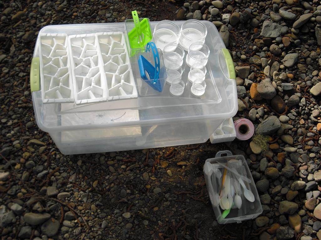
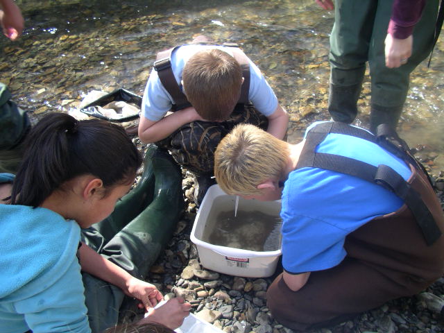
These fish traps are used to monitor juvenile salmon to identify areas where they’re rearing and help us understand where and how we can help provide habitat to make sure they’re strong and healthy for their journey out to sea
This unique project works with volunteers to collect water quality samples during storm events to help us better understand sediment mobilization and the effects large storms have on our watersheds.
These plots use a standard US Forest Service method to monitor how much sediment washes off of forest roads, and will be incredibly useful in helping us identify and remediate issues on ranching and forest roads.
These are standard surveys used by the Oregon Department of Fish and Wildlife to characterize salmonid habitat in streams. We use these surveys to identify areas of concern and monitor the health of streams over time.
Storm Chasers
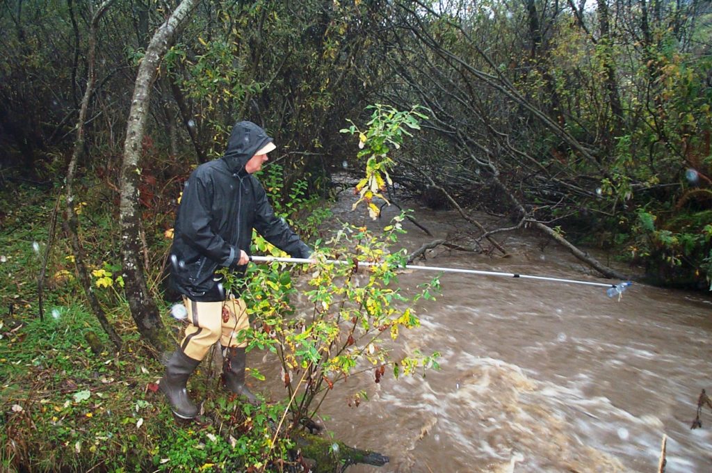
Storm Chasers volunteers are on the front line of helping us understand these issues. Volunteers go out during or just after 3 strong storms throughout the rainy season to collect water samples from designated locations throughout our watersheds. We then analyze those samples for turbidity and specific conductivity – two water quality parameters that help us better understand sediment mobilization. The results of these sampling events will help us better understand where the most sediment is moving through our watersheds, and identify areas where we may be able to work with landowners to address issues or enhance current conditions on their lands in order to reduce erosion and enhance the health of our watersheds.
If you’d like to join us and become a Storm Chaser, reach out to us at monitoring@currywatersheds.org and let us know what watersheds you are interested in!
Volunteer with Us TODAY!
Exicited and looking for a way to get involved in local watershed science?
The Monitoring Program is always looking for ways to get volunteers involved, and is currently working on building a volunteer base for some exciting upcoming projects.
Reach out to monitoring@currywatersheds.org with your contact info and we’ll reach out as soon as possible to get you signed up to join our citizen science team!
Volunteer Sign Up Form
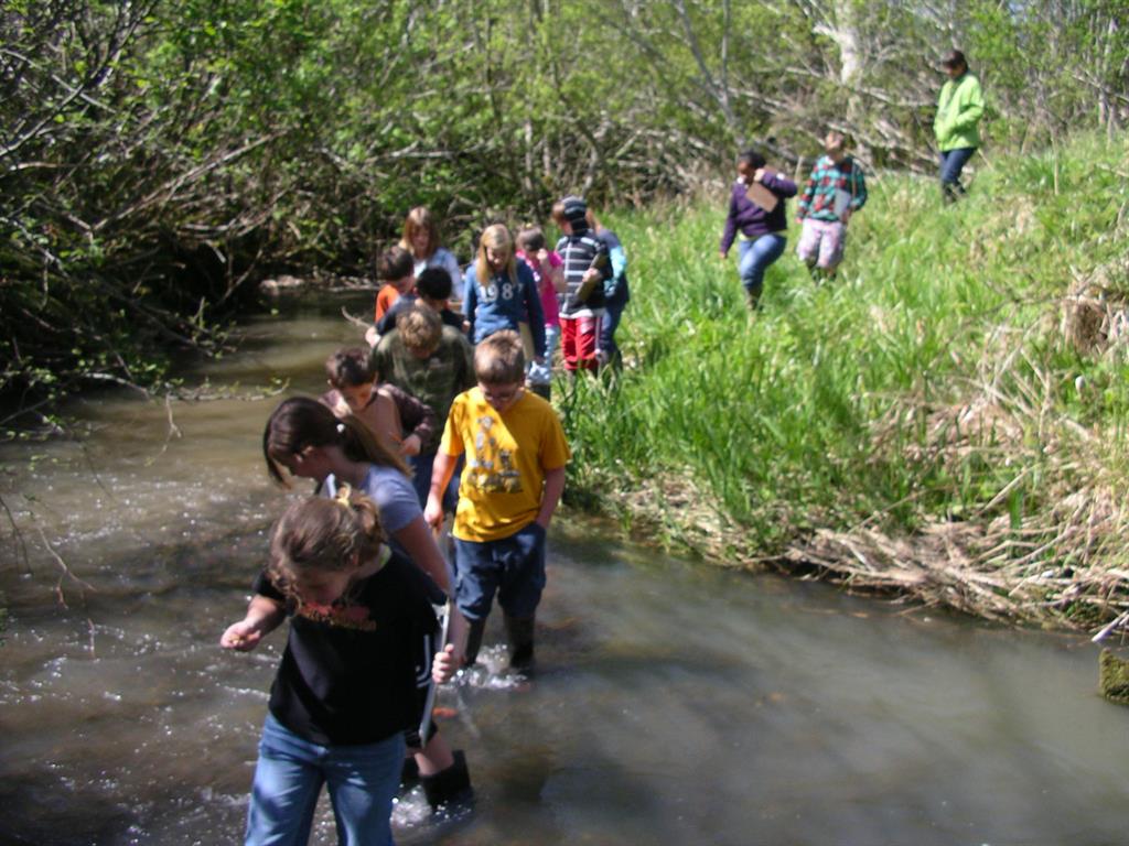
Unit 1: Fall Season
- Wonderful World of Water
- Salmon Life Cycle
- Riffles and Pools
- Riparian Zone
- Salmon Watching (with a little luck!)
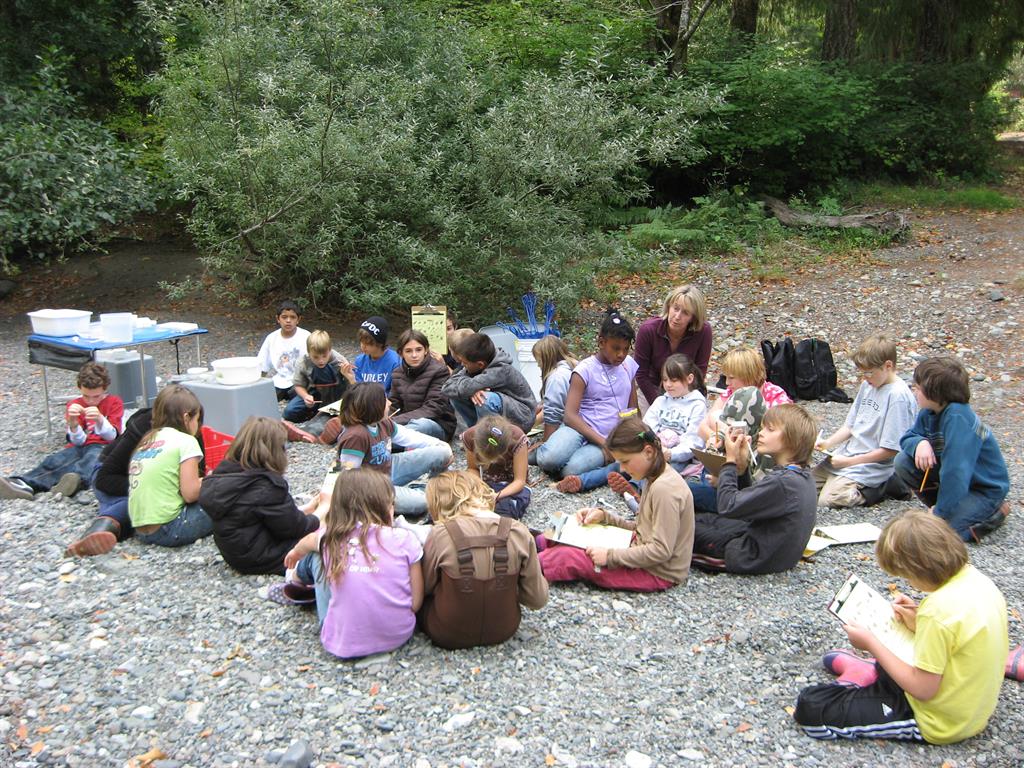
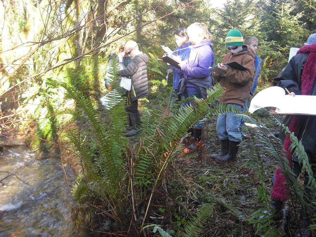
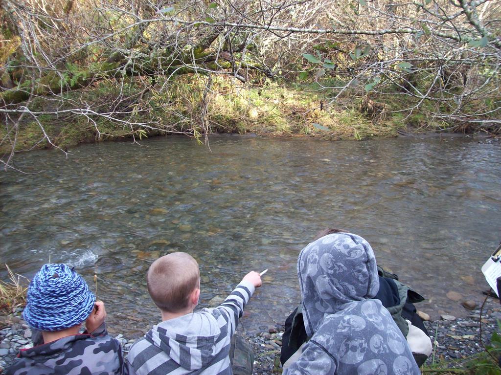
Unit 2: Spring Season
- Stream Trailer; Intro to Water Quality
- Riparian Ecology
- Macro Invertebrates
- Creek Day!
- Watershed Wrap-Up
The Curry Watersheds Education Program also coordinates Adopt-a-Stream (or wetland!) projects throughout Curry County such as tree planting, litter clean ups, invasive species removal, water quality monitoring and more. To get your class involved in the Salmon Ecology lessons, or a watershed stewardship project near your Curry county school, call or email your ideas or interests to Statia Ryder!